 With an increasing headwind and night approaching, we went into Cosmos Cove, 10 miles short of our desired destination (Warm Springs Bay) to anchor while a warm front passed. We were almost on the dividing line between two forecast zones–the forecast for one zone was north winds, the other was for southeast 25 knot winds. The front sounded hard to predict accurately, so I wasn’t sure which direction the wind would come from. We anchored well into the cove, in the middle of a deep spot behind a shallow spot, where there was no wind.
The warm front arrived about dawn, and the anchor alarm went off right afterwards. The wind was coming from the north, but that most likely meant it was coming from the southeast and curving around inside the cove to reach us as northerly. We reanchored on the north shore, monitoring our position closely for a while, then, seeing the anchor holding well, relied on the GPS anchor alarm. The big waves from Chatham Strait were all blocked by the land and the shallow spot in front of us, so we only had short little wavelets. The wind was frequently blowing the tops off these wavelets, so I figured we were getting more than the 25 knots forecast. We waited out the weather at anchor, and left the next morning for Warm Springs Bay, where we tied up to the dock.
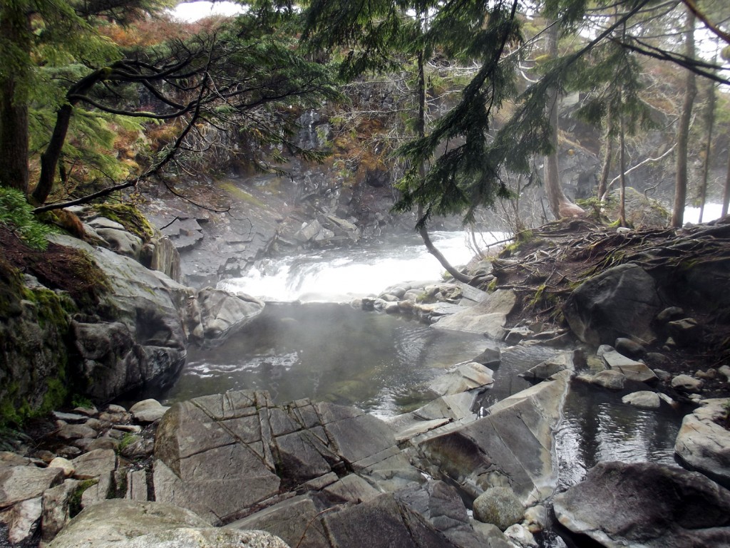
The warm springs at Warm Springs Bay are awesome. Not really hot, just pleasantly warm, one soaks in shallow water, looking out at the waterfall behind.
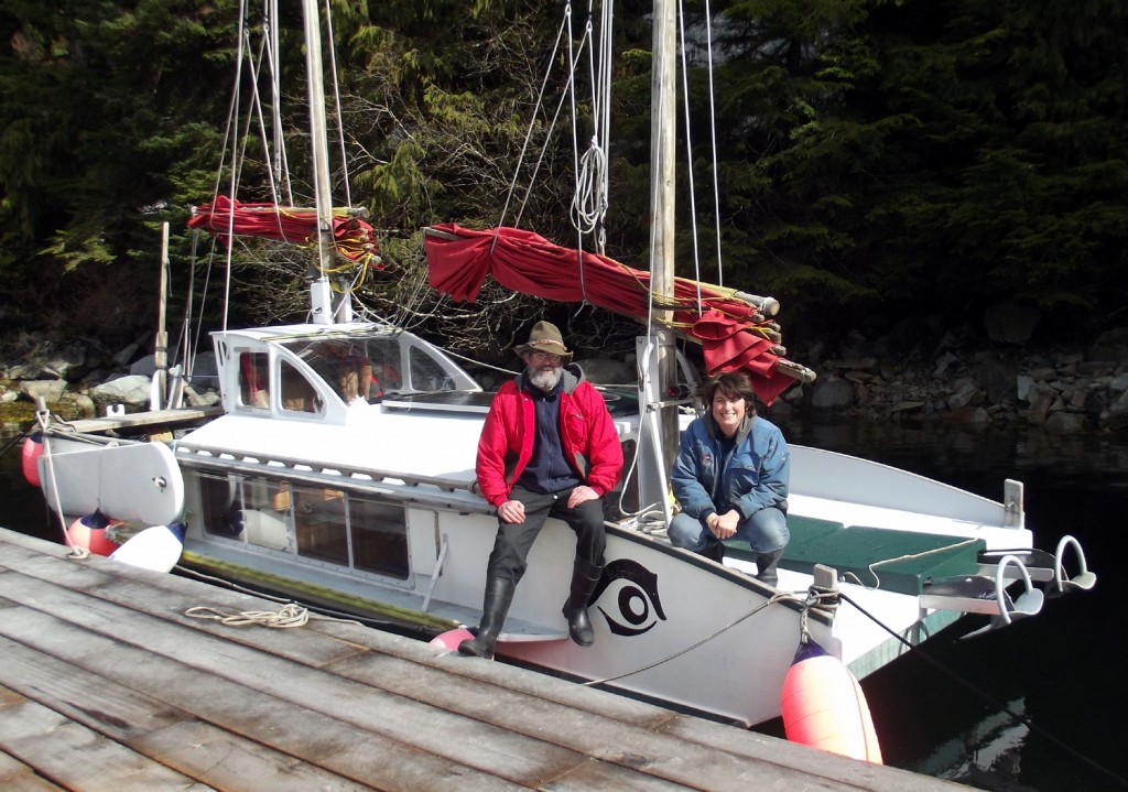
We had a pleasant visit with a few people at Warm Springs Bay. Below are Dave and Anke , who sail their engineless sailboat (which they designed and built) in Southeast Alaska. They are the only people I know who sail without an engine in Southeast Alaska (a difficult place to sail without an engine, with strong tidal currents and widely varying winds, usually either calm or windy, rarely in between).


Looks like your GPS map is working. I am going to see if the flags (the things that open when you click the point) can display a LAT LON or a time/date stamp to make it easier to track your direction.
And did you make it into Schooner Cove??
Hi Teka, we looked at Schooner Cove (a pretty looking place), but, as the dock had space and tieing up there would save us a dinghy trip, we didn’t go into Schooner Cove :).
sail power only! whew. Yday, traditional sailing vessels of all sizes paraded up NYHarbor and upriver, most with sails set, and all, of course, motoring a neat straight line. Thought of how ships used to come carrying cargo without engines, using wind and muscle to get the big ships to dock. I admire anyone who can navigate waters using wind, currents, muscle, line, anchor, brains and luck!
Ahhh, OpSail. It must have been so nice to see! I miss New York. I remember the straight line of ships moving up the harbor (my old schooner Orbit II was in OpSail 2000 in NY).